Worldview Elevation Suite
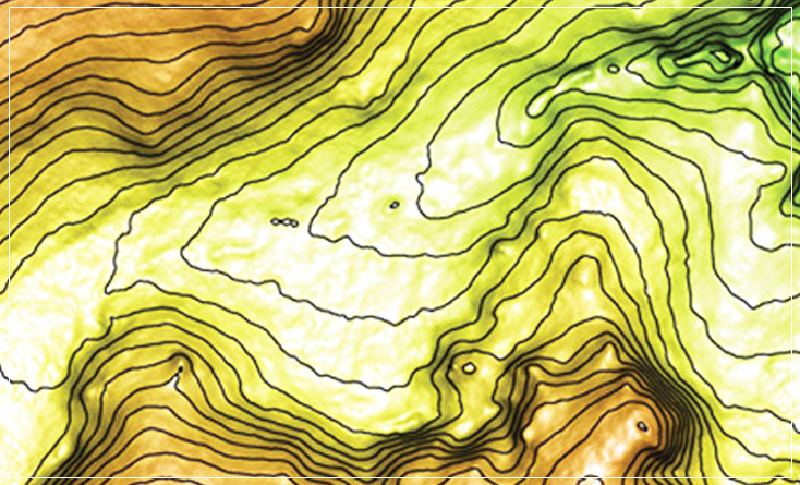
The new WorldView Elevation Suite provides a full perspective for your project area, bundling a highly accurate digital elevation model derived from a WorldView-1 or WorldView-2 stereo pair with ortho-imagery and contours.
Accurate elevation models are key building blocks for successful exploration, engineering, land management, and simulation.
DigitalGlobe has partnered withPhotoSat Information Ltd. to produce elevation datasets over rural areas of low vegetation using an innovative geophysical technology, similar to 3D seismic processing, that provides unprecedented accuracy from a satellite-based DEM.